WHAT WE OFFER
AERIAL SURVEY & IDENTIFICATION
THE IDENTFICATION PROCESS
1 - CREATE DIGITAL SURFACE MODEL (DSM)
We simply can’t fly using topographical data as there are various obstacles such as trees or buildings that won’t be accounted for. So first we must create a digital surface model that maps out where these objects are.
3 - CREATE MAP
We are then able to take our thousands of high resolution photos we stitch together to make an ortho mosaic map.
4 - IDENTIFY TARGET AREAS
We then use our map to closely examine the area and identify noxious weeds or areas, placing GPS pins on each individual plant or an entire area to be treated.
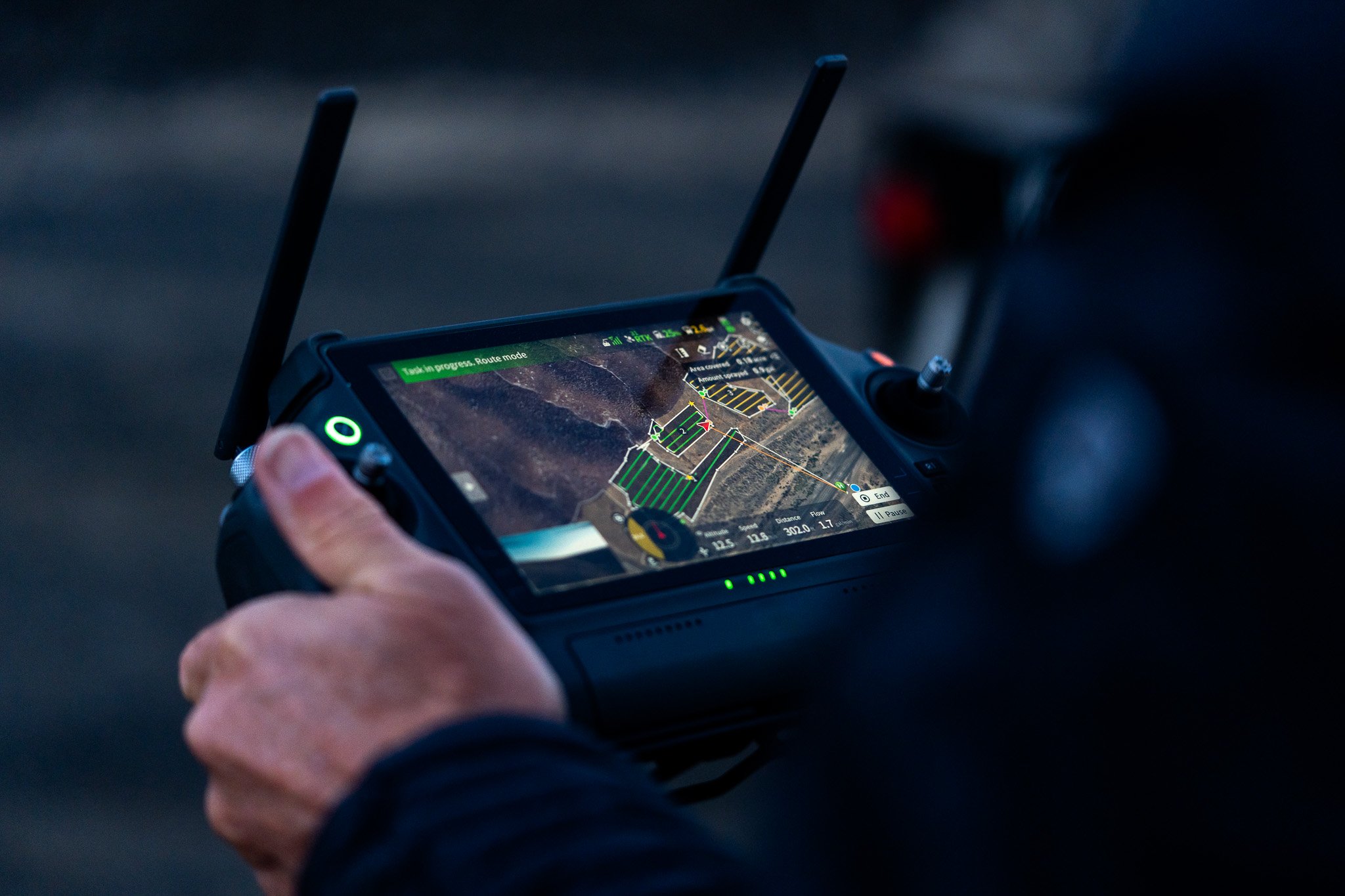
5 - DELIVERABLE
After the identification process we deliver our map with all the flagged weeds/area to our clients allowing them to see within less than a centimeter of margin where these weeds are located. Our deliverable is compatible with ArcGIS.
2 - CAPTURE HIGH RESOLUTION PHOTOS
Using our DSM our drone is able to more easily avoid obstacles and fly in steeper terrain that can be difficult to access otherwise. We can then take thousands of high resolution photos with <.27 ground sample distance.